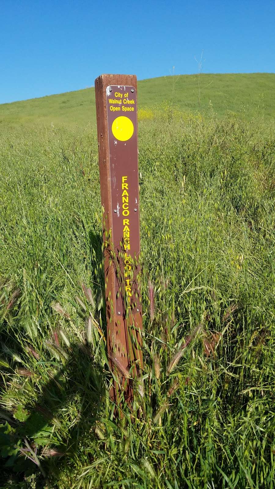
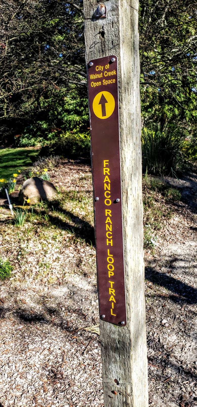
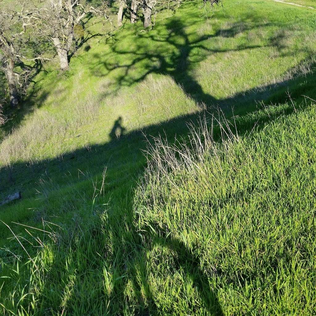
Franco Ranch Loop Trail
The coordinates that you can use in navigation applications to get to find Franco Ranch Loop Trail quickly are 37.8749667 ,-122.0207242
Contact and Address
| Address: | Walnut Creek, CA 94596, USA |
|---|---|
| Postal code: | 94596 |
Location & routing
Reviews
-
Shoshana Finkel
(January 1, 2019, 5:21 pm)Great for running or a calm nature walk
-
Ebeid Safein
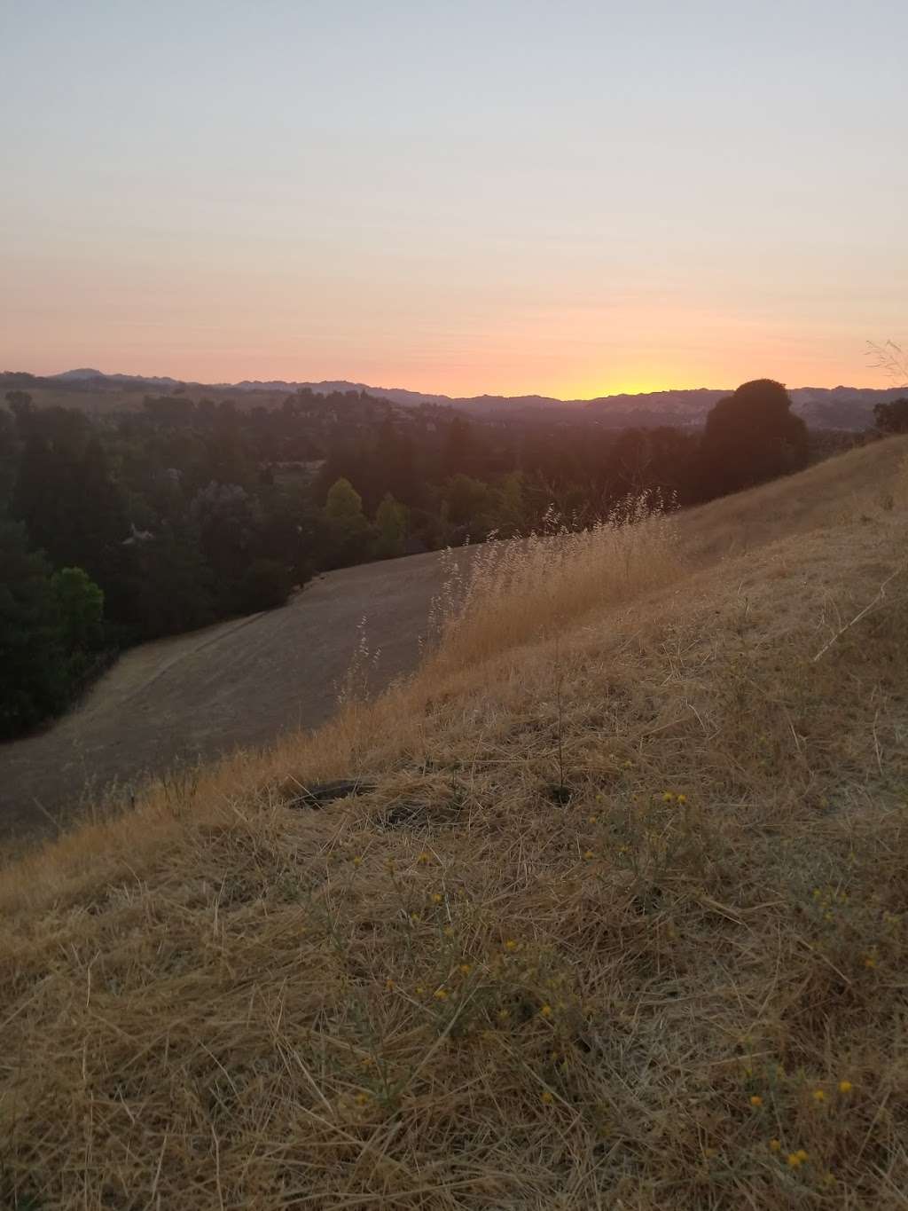
(August 12, 2018, 12:27 pm)Beautiful scenes
-
Monique Dorsey
(August 3, 2018, 11:52 am)Very nice. A hot day (regardless of CA fires) good to relax and ponder on how GOOD LIFE IS!
-
Julia Babka-Kurzrock
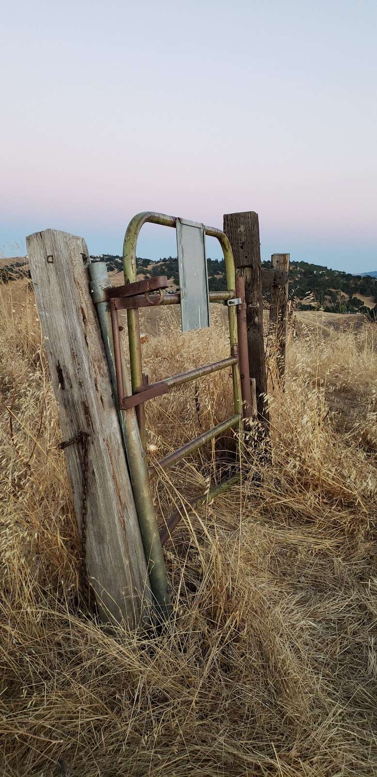
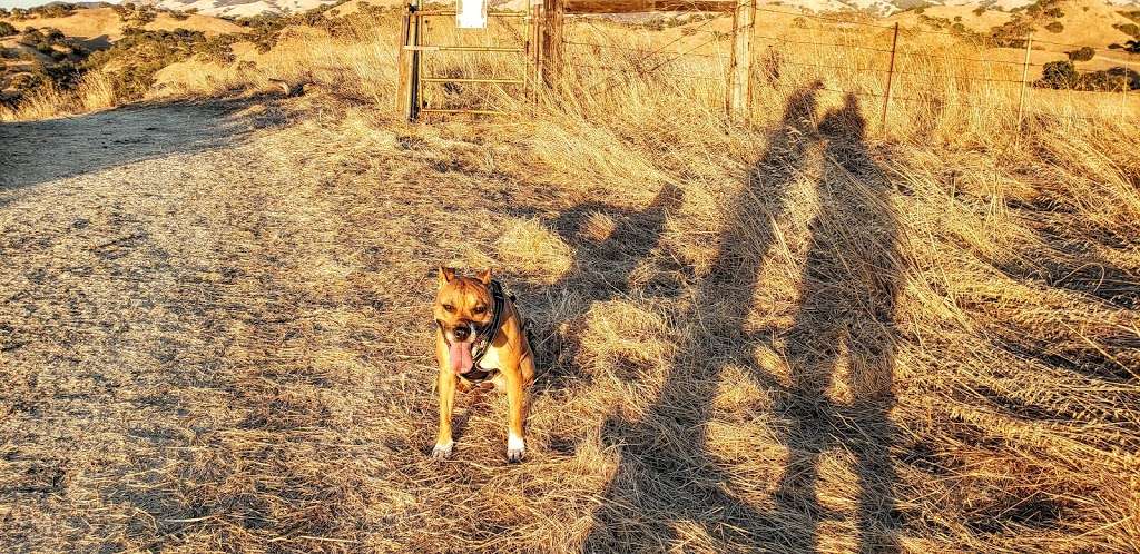
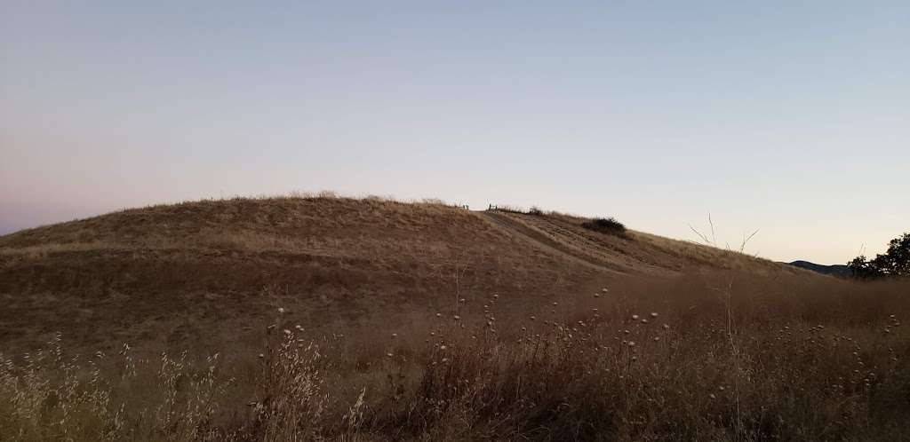
(April 11, 2018, 2:15 am)This trail accesses the Sugarloaf-Shell Ridge trails. From Sunburst Ct., take the trail slightly uphill to the gate. From the gate you can turn left going clockwise or go straight up the path (Franco Ridge Trail,) which is a steep switchback and cuts Franco Ranch Loop down the middle. At the top where Franco Ranch Loop & Franco Ridge Trail meet, you can see 1) downtown Walnut Creek, 2) Highway 24 from Walnut Creek to Lafayette. Them continue heading east on Franco Ranch Loop towards Mt. Diablo and you'll almost see the top of Mt. Diablo. Beware of Rattlers.
Photos of Franco Ranch Loop Trail
