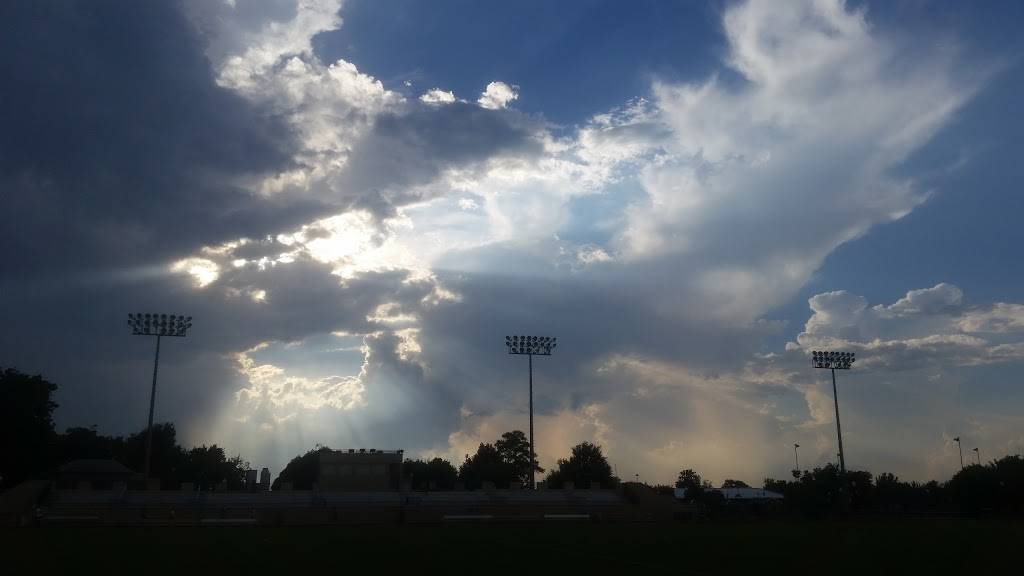
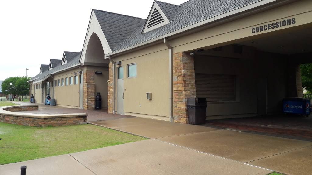
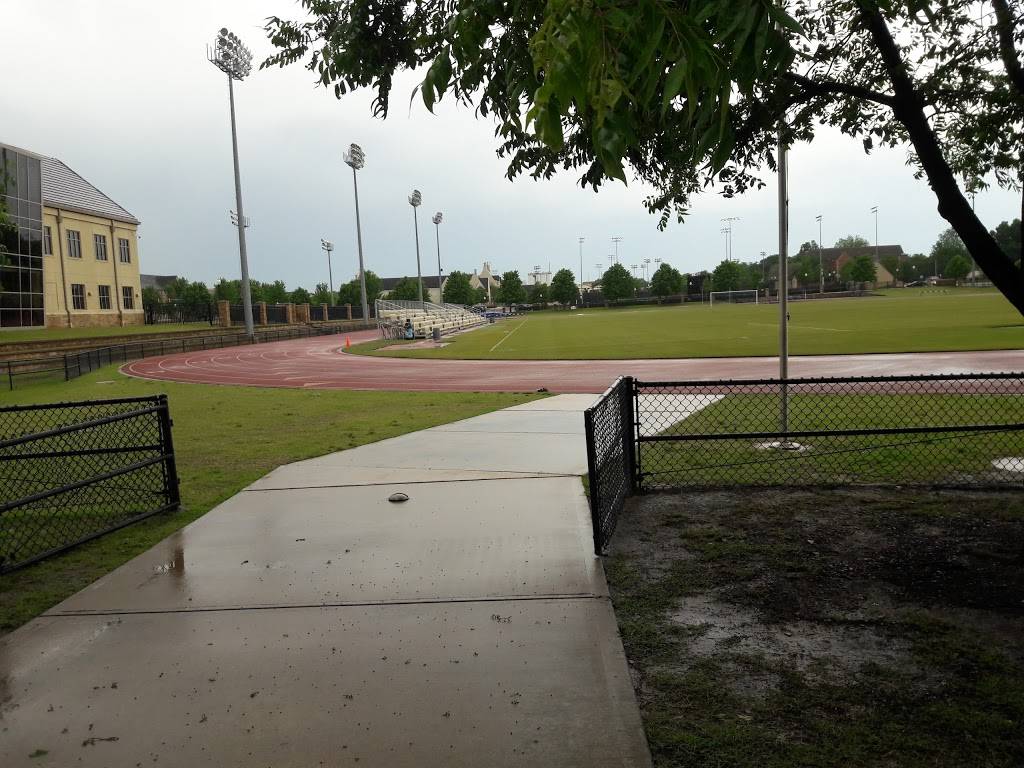
Hurricane Track
(918) 631-2342
Contact and Address
| Category: | Stadium, |
|---|---|
| Address: | The University of Tulsa, 800 South Tucker Drive Westby Hall, Tulsa, OK 74104, USA |
| Postal code: | 74104 |
| Phone: | (918) 631-2342 |
| Website: | http://www.tulsahurricane.com/facilities/tuls-soccer-field.html |
Location & routing
Most Recent Reviews
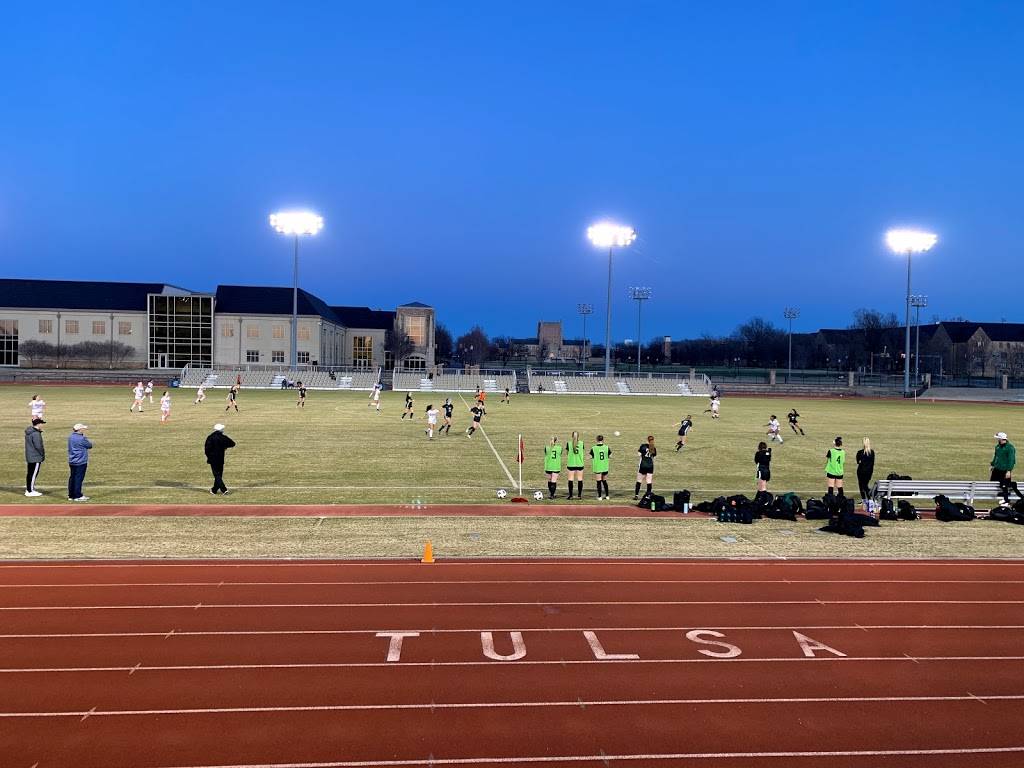
(February 25, 2020, 12:15 pm)Well maintained and well lit track near the University, Tulsa Runner hosts a 'Tuesday track' regularly.
I have run with this group off and on over the past few years. I have never had issue with the track or facilities.
(February 17, 2020, 8:43 pm)Awesome experience and such a peaceful campus. Very hard to leave such a great environment!
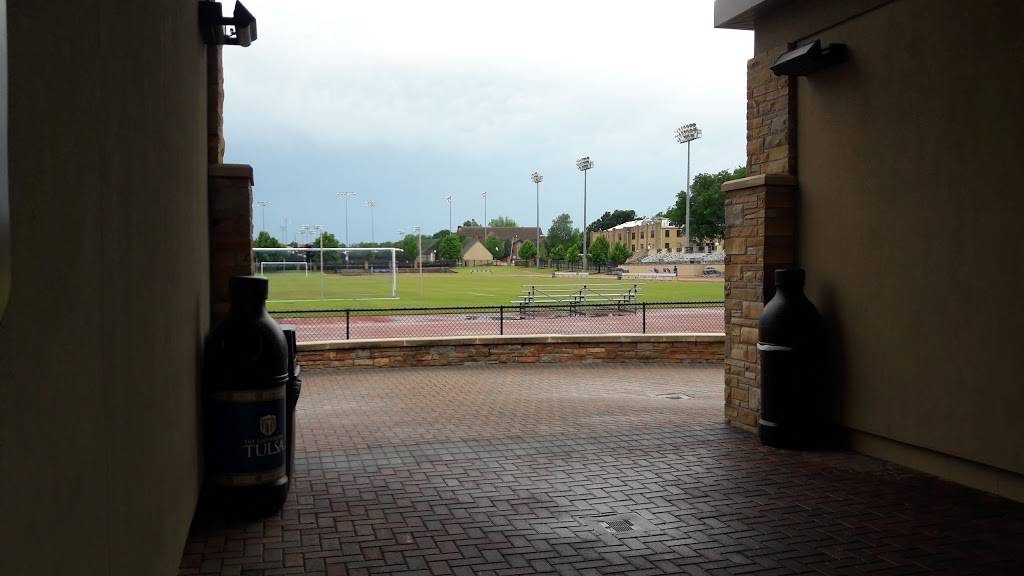
(May 19, 2017, 4:45 pm)Beautiful open space and super clean restrooms, also friendly staff!
Photos of Hurricane Track



Hurricane Track On the Web
Phone: (918) 631-2342 (International format: +1 918-631-2342)
Hurricane Track, The University of Tulsa, 800 South Tucker Drive Westby Hall, Tulsa, OK 74104, USA. Hurricane Track on the map.
Hurricane Tracking: EnchantedLearning.com
Hurricane Tracking and Forecasting - read about these tropical cyclones, how they form, how they are named, hurricane anatomy, the eye, eyewall, spiral rainbands, tracking storms, preparing for a storm, landfall, storm surges, and the end of the storm.
GitHub - Unidata/HurricaneTracker: Hurricane Track Visualization in...
Hurricane Track Visualization in Python. Contribute to Unidata/HurricaneTracker development by creating an account on GitHub. README.md. HurricaneTracker. Hurricane Track Visualization in Python. This notebook was created by Unidata 2014 summer intern Florita Rodriguez.
Hurricane Track - Environment Canada
Tropical cyclone information track map showing storms currently tracked by the Canadian Hurricane Centre. Hurricane Track. Legend. Tropical Depression.
Incredible Technology: How to Track Hurricanes | Live Science
Hurricane tracking and forecasting save lives. In sparsely populated Florida in the 1920s and 1930s, hurricanes killed thousands of people. By 1964, meteorologists could draw a hurricane track out to three days. This remained the standard for nearly four decades. In 2002, thanks to better storm...
Hurricane Track - Ryca Motors
Hurricane Track. by CAMSO. MSRP Hurricane Waterproof Backpack / Tailpack. MSRP: Was: Now: $129.95 - $149.95. Quick view Choose Options.
Hurricane Track- Storm Tracker - (iOS Aplikasi) — AppAgg
Free. Size: 28 MB. iOS. Hurricane Track 3.0 is the most advanced, modern, and easiest to use Hurricane Tracking and Radar application! Hurricane Track 3.0 features incredible new features such as 18 World Radars featuring the newly launched GOES-16 Satellite...
Hurricane track: African dust storms 'the size of... | Express.co.uk
HURRICANE trackers with the National Oceanic and Atmospheric Administration (NOAA) have closely monitored Hurricane season started on June 1 in both regions, and will continue until November this year. Despite starting at the same time, however, they are wildly different in terms of activity.
Florida Hurricane Track - Home | Facebook
Florida Hurricane Track. 301 likes. Up to date hurricane and tropical storm information. Current watches, formations and developments in the Atlantic... See more of Florida Hurricane Track on Facebook.
7 Best Hurricane Tracking Maps images | Hurricane tracking map...
Jul 3, 2014 - Hurricane Tracking Maps - Feel free to use the image, we just ask that you kindly credit swiftmaps.com !!. See more ideas about Hurricane tracking map Hurricane Irma Path Map - This track map shows the path of Irma which is most likely to traverse through Florida, New York, Turks...