Contact and Address
| Category: | Park, |
|---|---|
| Address: | PCT Segment BF, Whitewater, CA 92282, USA |
| Postal code: | 92282 |
| Phone: | (909) 382-2921 |
| Website: | https://www.fs.usda.gov/recarea/sbnf/null/recarea/?recid=26473&actid=50 |
Location & routing
Most Recent Reviews
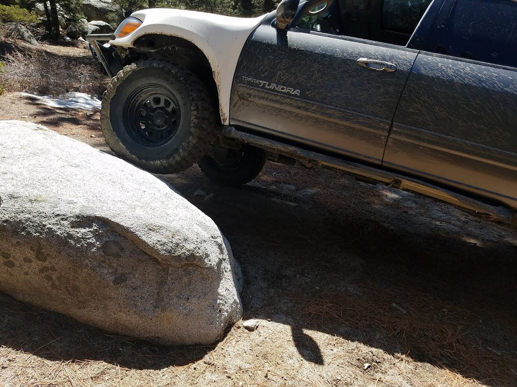
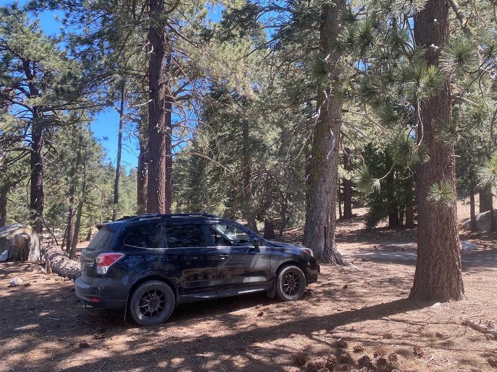
(September 12, 2022, 6:50 pm)The highest trailhead you can reach by car in the San Jacinto Mountains, and a great escape from summer temperatures in the valleys below. You may hear warnings about the state of the road, but I generally find these to be overstated (as of August 2022, conditions may change with floods and storms). I've driven to the trailhead in both 4x4 and crossover type vehicles with no trouble. There are really just one or two short bumpy sections that require caution in medium-clearance vehicles.
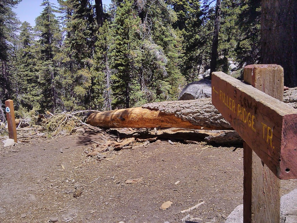
(June 6, 2021, 12:16 pm)You need to drive 30 mins down a dirt road to reach the trailhead. The road is in good condition but it can be quite bumpy and rocky in parts so an SUV is highly recommended. I wouldn't attempt in a sedan. The Fuller Ridge Trail itself is quieter than the Deer Springs Trail, probably due to the extra effort it takes to get there, although the two trails merge eventually before reaching the San Jacinto Peak. The wooden sign is missing from the peak as of June 2021 sadly.
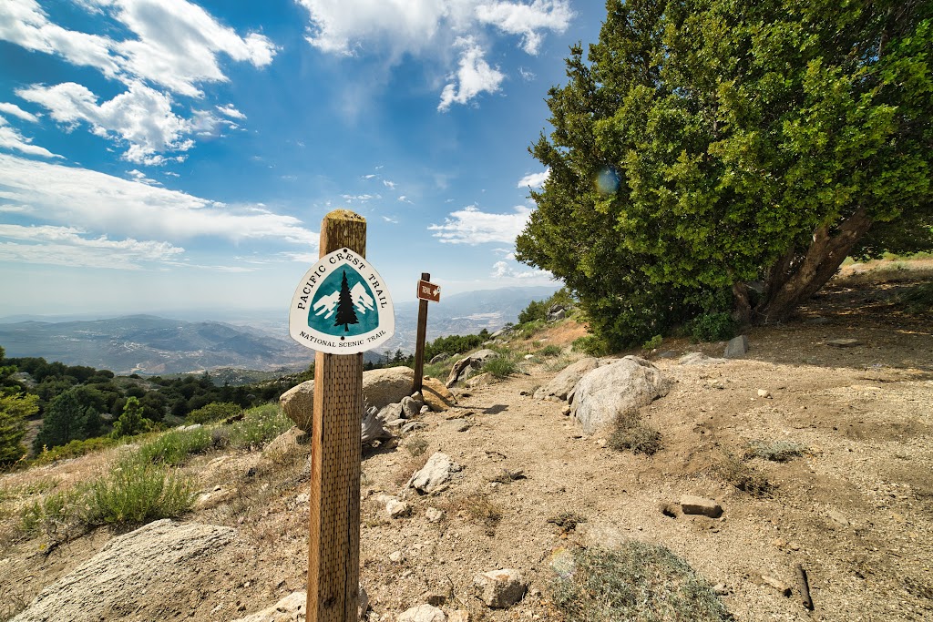
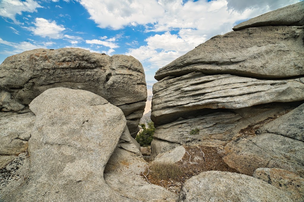
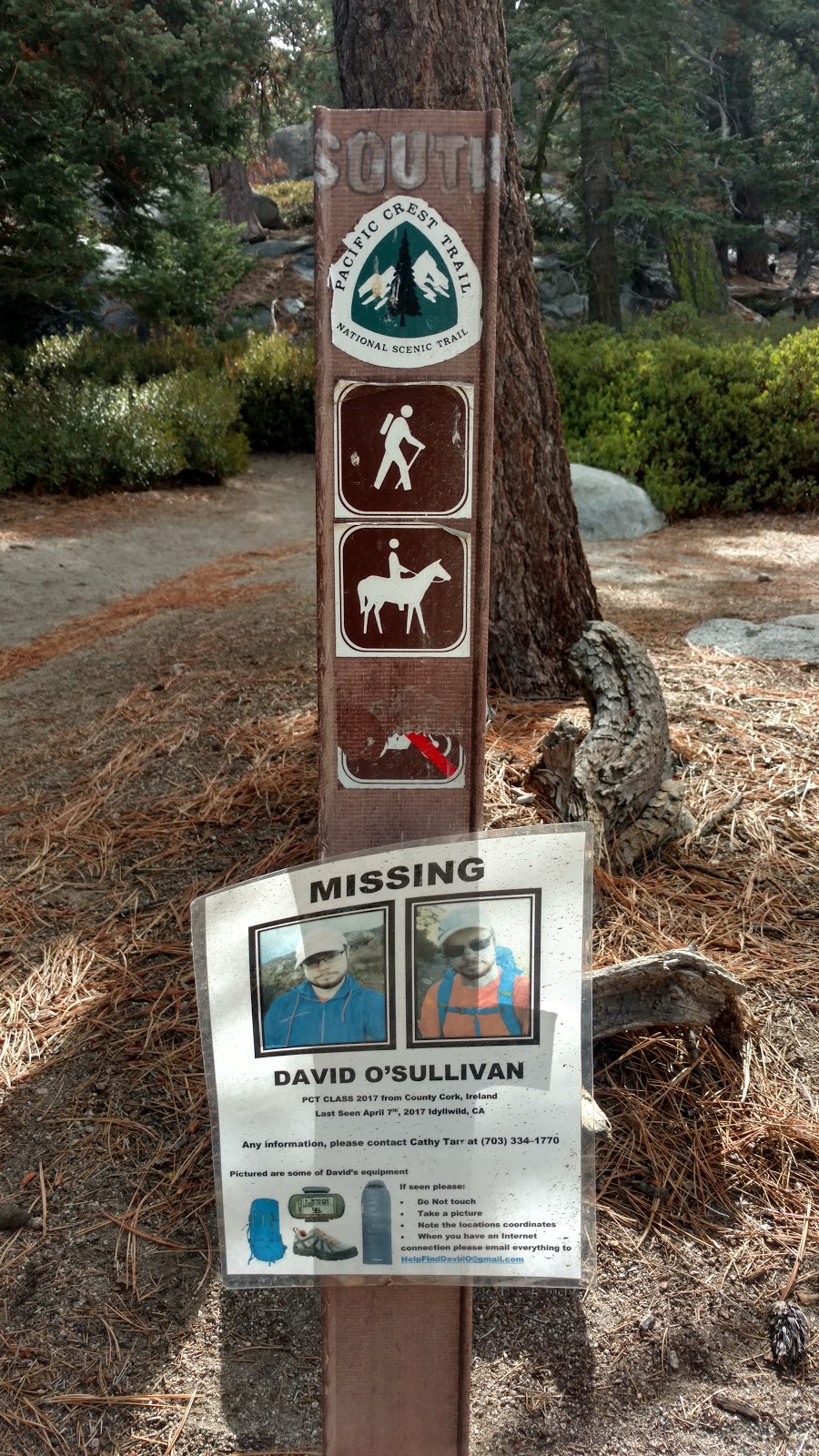
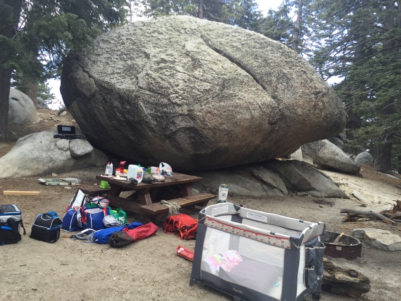
(July 10, 2020, 12:59 pm)There is not much more than a picnic table and a place to park. Even most small cars can manage the dirt road to the Trailhead. A few miles up the trail the views are spectacular. The Pacific Crest Trail crosses through here on the route from Mexico to Canada.
(May 19, 2017, 12:23 am)A little difficult to access unless you have a truck or SUV with plenty of ground clearance. If you can get there it's a great place to start your hike to Mt. San Jacinto summit. Prepare for a very long strenuous day hike!
Photos of Fuller Ridge Trailhead
