Contact and Address
| Category: | Park, |
|---|---|
| Address: | Point Reyes Station, CA 94956, USA |
| Postal code: | 94956 |
| Phone: | (415) 464-5100 |
| Website: | https://www.nps.gov/pore/planyourvisit/campgrounds.htm |
Location & routing
Most Recent Reviews
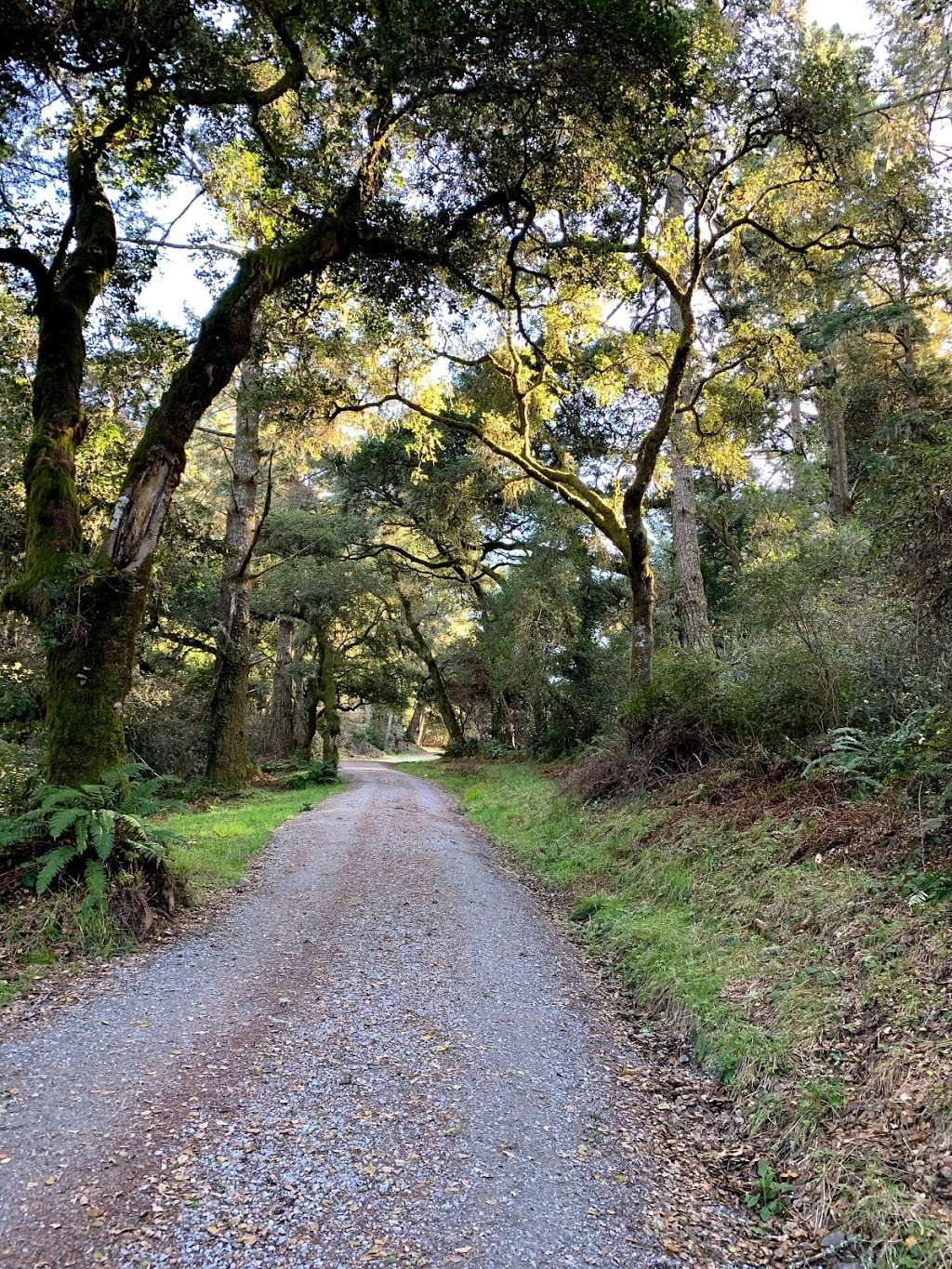
(January 29, 2019, 1:34 am)Absolutely gorgeous
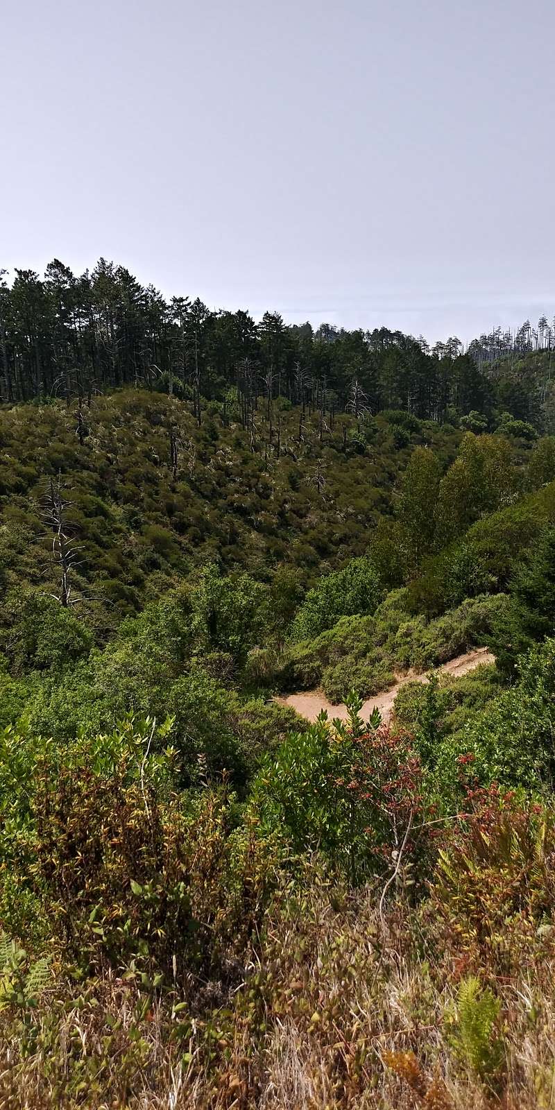
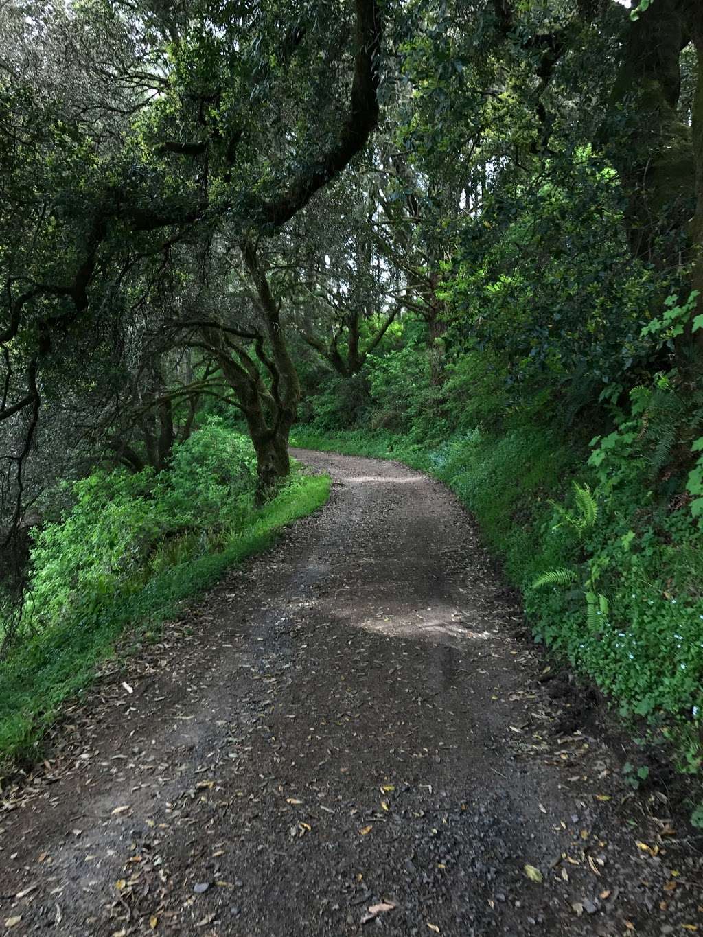
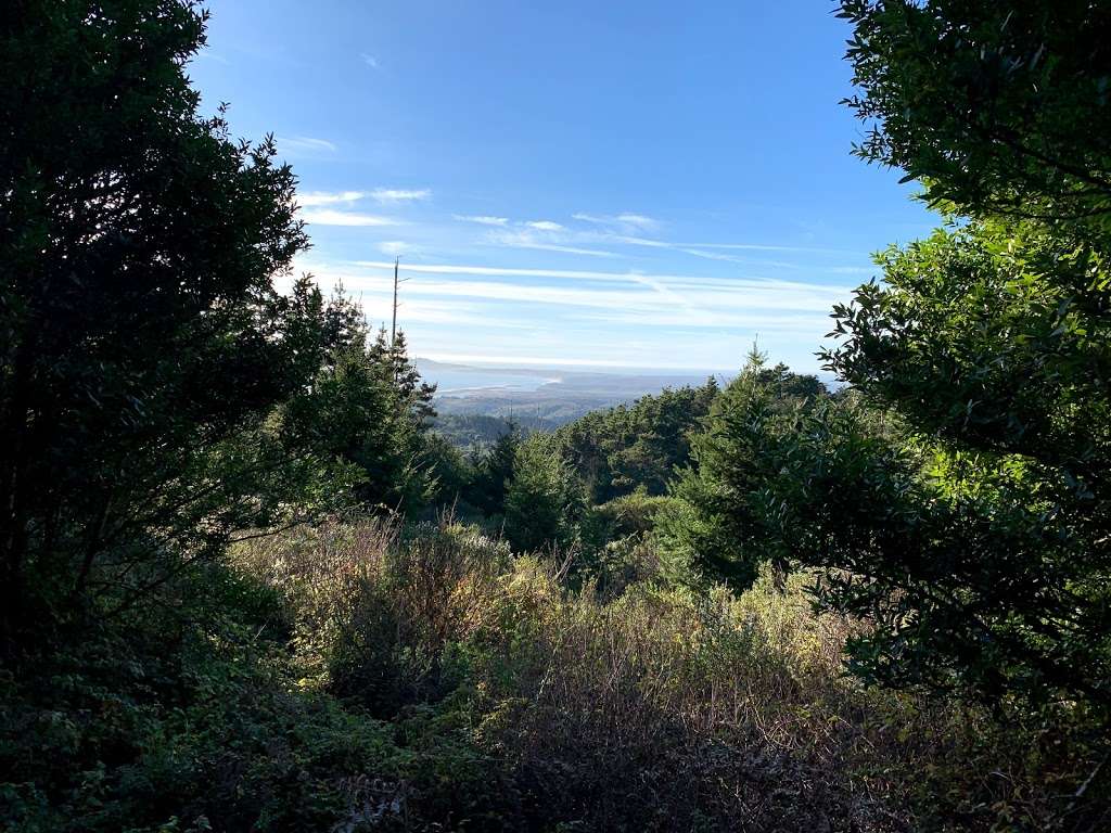
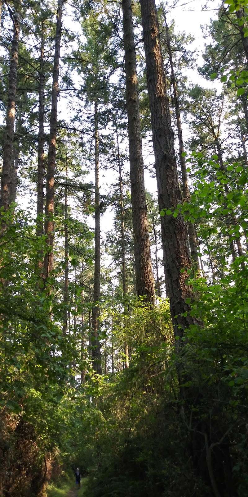
(January 21, 2019, 1:06 pm)I hiked this trail to the Pacific. It's a little over 8 miles round trip, so we took our time and did it in a little over 3.5 hours. There's about 1000 feet of elevation gain and loss, and there's no water along the way so be prepared. Trail is narrow and often blocked by down trees, so this is not a good option for children or the mobility impaired. Highlights are deep Forrest and wildlife and not seeing anyone else until the beach.
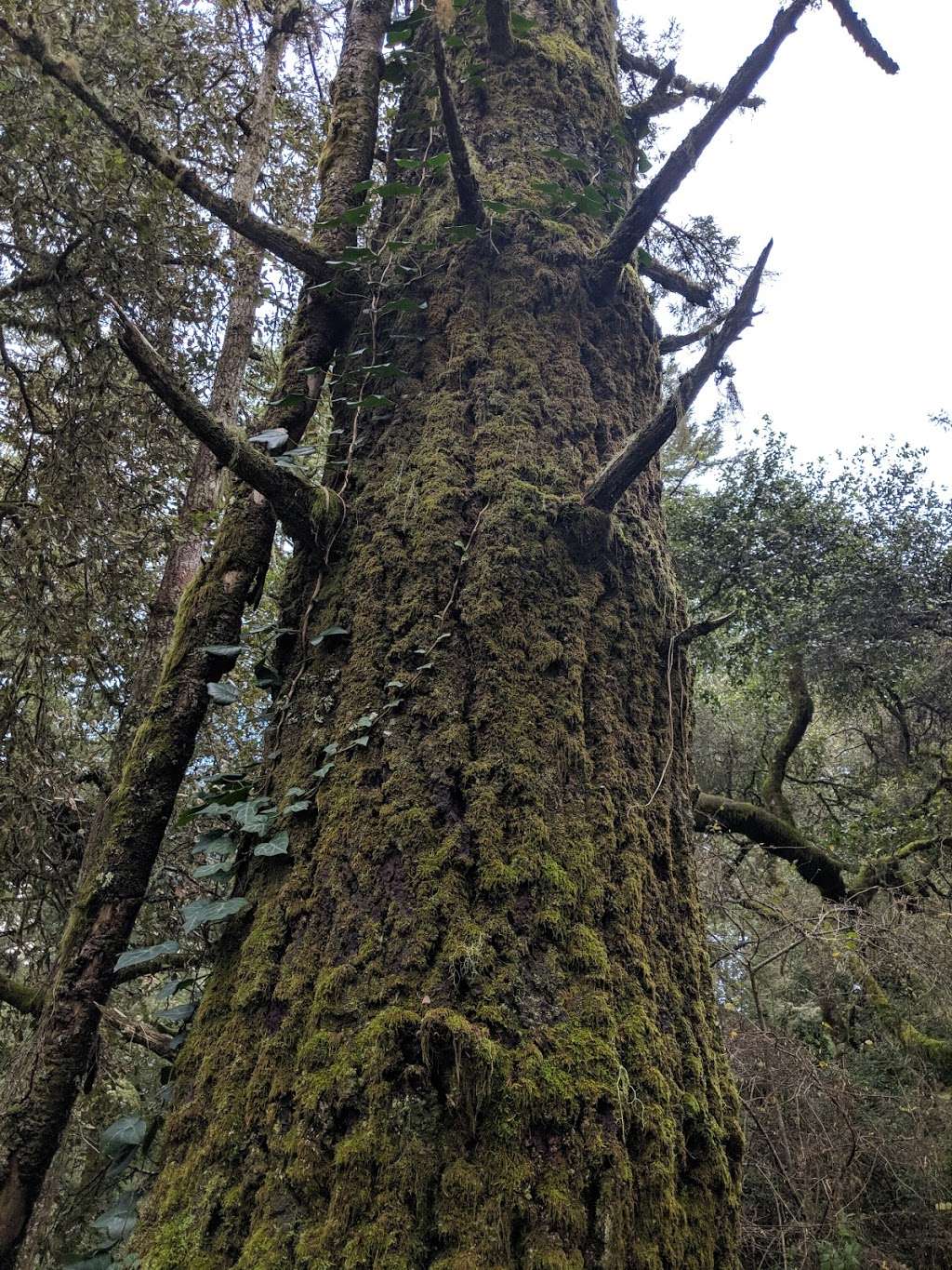
(September 7, 2018, 11:59 pm)One of the best Trail in my life. Lots of talk trees, can't believe it's next to the ocean. Smell of trees make you feel so comfort.
(July 8, 2018, 10:55 pm)Absolutely beautiful hike: at least 5 different microclimates; killer ocean views; sun and shade; we even saw whales! Be prepared for a lot of uphill.
Photos of Sky Trailhead
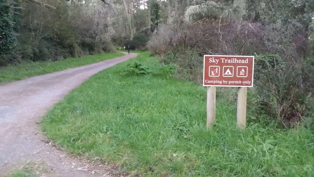
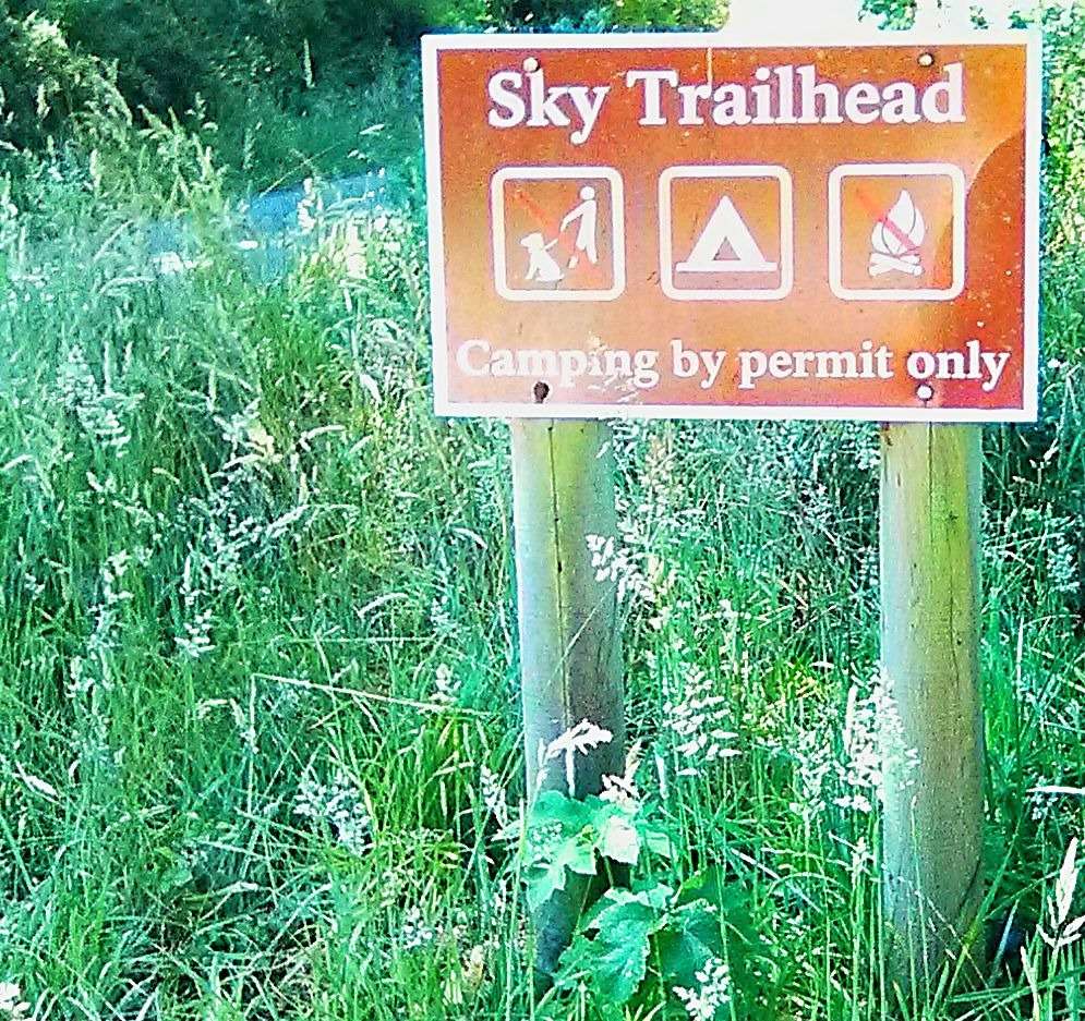
Sky Trailhead On the Web
Sky Trail to Sculptured Beach, Point Reyes: Sky Trailhead ...
You are here Home California San Francisco: Marin Headlands - Mt Tamalpais - Point Reyes Sky Trail to Sculptured BeachSky Trail to Sculptured Beach, Point Reyes: Sky Trailhead, San Francisco: Marin Headlands - Mt Tamalpais - Point Reyes, California
Sky Trail to Arch Rock, Point Reyes: Sky Trailhead, San ...
Sky Trail to Arch Rock - 13.8 Miles Round-Trip Arch Rock is located 6.9 miles from Sky Trailhead in Point Reyes National Seashore. The arch is carved from the base of a protruding headland at the approximate mid-point of Drakes Bay, which collapsed on March 21, 2015.
Camping in the Park | Point Reyes National Seashore Association
For park camping information (no reservations), contact 415-464-5100 x2 x5 (information) Camping Fees ... 1.4 mile ride from Sky trailhead off Limantour Road.
Directions to Park Destinations via Limantour Road - Point ...
Directions to Sky Trailhead ... (415) 464-5100 This number will initially be answered by an automated attendant, from which one can opt to access a name directory ...
Bay Area Hiker: Sky, Point Reyes
NPS's Point Reyes page. Bear Valley Visitor Center (Ranger Station) 415-464-5100 Map Choices: • Download the park map pdf from NPS • Other Point Reyes maps from NPS • Point Reyes by Jessica Lage (order this book from Amazon.com) has a good map and descriptions of trails around Sky Trailhead.
Point Reyes National Seashore Campground, Inverness ...
415-464-5100 X2 X5 | PORE_Webmaster@nps.gov Directions Point Reyes is located approximately 50 miles north of San Francisco and can be approached either northbound or southbound via Highway 101 and Exit 450A/B Sir Francis Drake Highway.
Trail Advisories and Closures - Point Reyes National Seashore ...
Trail Advisories and Closures. ... between Sky Trailhead and Laguna Trailhead ... protect park visitors by contacting the Bear Valley Visitor Center at 415-464-5100 ...
Olema Marsh, Point Reyes: Bear Valley Trailhead, San ...
Olema Marsh - 4.7 Miles Round-Trip Olema Marsh is located one mile north of the Bear Valley Visitor Center in Point Reyes National Seashore.
Directions to Park Destinations - Point Reyes National ...
Once at the Bear Valley Visitor Center, there are four main roads within Point Reyes National Seashore leading to various points of interest and trailheads: Sir Francis Drake Boulevard, Limantour Road, Pierce Point Road and Highway 1. The locations listed below are followed by the road (in parentheses) visitors need to drive to get to the ...
Recent Storms Takes Toll on Point Reyes National Seashore ...
Contact: John Dell'Osso, 415-464-5135 The recent series of storms, which hit northern California, this past week has caused damage to the Point Reyes National Seashore. The intensity of the storms would not allow National Park Service crews to assess the potential damage incurred on the 140 miles of hiking trails.