Contact and Address
| Category: | Park, |
|---|---|
| Address: | Nederland, CO 80466, USA |
| Postal code: | 80466 |
| Phone: | (970) 887-4100 |
| Website: | http://www.fs.usda.gov/recarea/arp/recreation/hiking/recarea/?recid=28280&actid=50 |
Location & routing
Most Recent Reviews
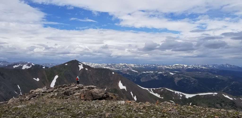
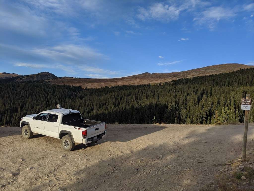
(August 12, 2019, 8:43 pm)Great trail. Buddy and I went up and saw 4 other people on the entire trail. Weather was great until afternoon shower rushed us off below the tree line. James peak has a couple nice wind breaks at the top to chill and relax before coming back down. Gravel road to get to trailhead was pretty rough in spots. Reccomend 4x4 or suv/truck to get in and out, especially if wet conditions exist.
(February 14, 2019, 11:00 am)Great place that is one of Colorado's hidden gems
(October 3, 2018, 10:01 am)What a gnarly hike! Ibwould reccomend driving to top of corona pass to start this hike. I started from the highway and it took forever. Views totally worth it tho also james peak has amazing some amazing back countrylines
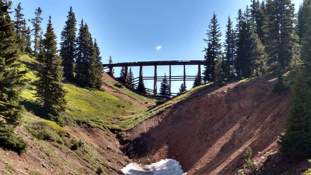
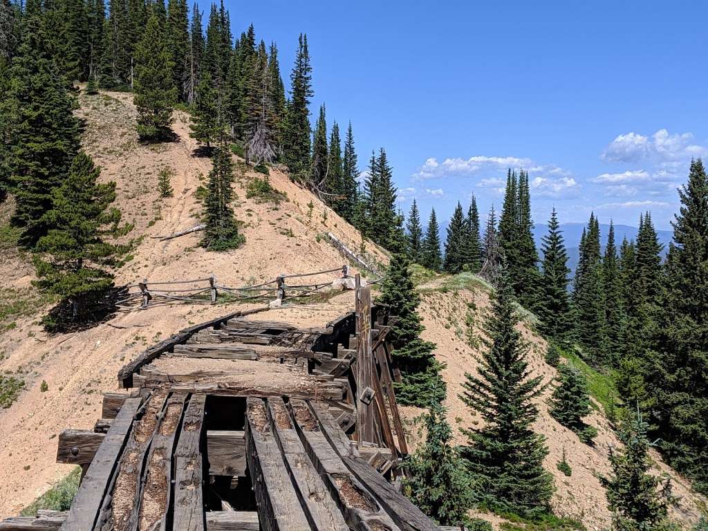
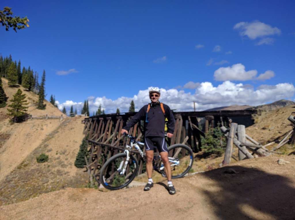
(August 14, 2018, 6:40 pm)Corona Pass road is a little rough. The trailhead is at Riflesite Notch where a cool railroad trestle is. The hike starts off gently, but gets steep and rocky at Rogers Pass. Take lots of water and take your time.
(June 17, 2018, 2:45 pm)Great place for hike a camping.
Not so many people.
To get there you better have SUV or truck or at least a car with good clearance. I was able to get there on a car, but had to park and hike to the trail.
Photos of James Peak Trailhead
James Peak Trailhead On the Web
James Peak Trailhead - Парк - Nederland | Airbnb
Номер телефона(970) 887-4100. Позвонить. Сайтfs.usda.gov.
Mammoth Gulch to James Peak Trailhead OHV Route... | AllTrails
It leads to to beginning of James Peak Lake trail and a ute trail can be seen and followed from here (according to my grandfather), both of which are still amazing to get to, but I recommend that you 4x4 to the top and do the trail from Mike Kurfess recorded Mammoth Gulch to James Peak Trailhead.
James Peak Trailhead
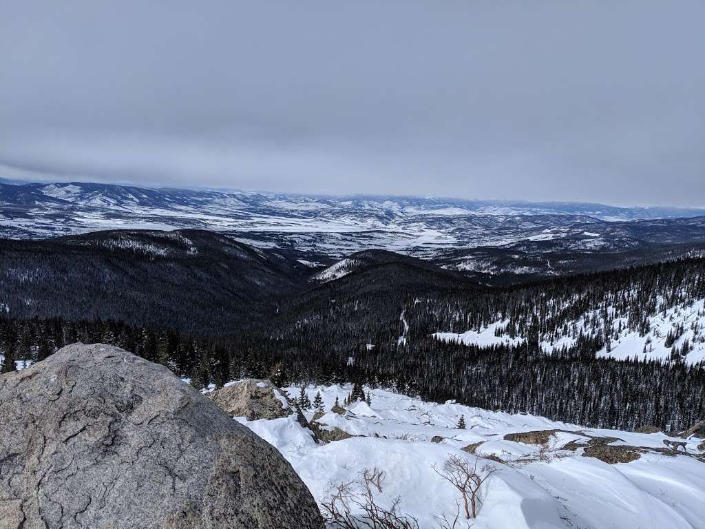
James Peak Trailhead You can drive to this point and park. Quite a view. Colorado Mines Peak 11 km. Downieville-Lawson-Dumont, CO 11 km. Georgetown loop railroad 18 km.
Hike James Peak Trail via James Lake - Nomad Colorado
The James Peak Trail is an 8-mile moderately trafficked hiking trail near Black Hawk and Rollinsville, Colorado. The trail is difficult and offers some nice camping and You can bring your dog on this trail but please keep them on a leash. Trailhead: James Peak Trailhead (aka James Lake Trailhead).
Heart Lake via Rogers Pass Trail - Colorado | AllTrails
Mammoth Gulch to James Peak Trailhead OHV Route. 13.5 mi · James Peak Wilderness. James Peak North East Ridge via Little Echo Lake.
Photos of Mammoth Gulch to James Peak Trailhead OHV Route
United States. • Colorado. • James Peak Wilderness. James Peak Wilderness. Distance: 13.5 miles Elevation Gain: 2,755 feet Route Type: Out & Back.
Forest Lakes Trail - Colorado | AllTrails
Mammoth Gulch to James Peak Trailhead OHV Route. moderate(8). 13.5 mi · James Peak Wilderness. James Peak North East Ridge via Little Echo Lake. James Peak Trail to Kingston Peak Road. hard(2). 11.9 mi · James Peak Wilderness.
Best Views Trails near Rollinsville, Colorado | AllTrails
Mammoth Gulch to James Peak Trailhead OHV Route. moderate(8). 13.5 mi · James Peak Wilderness. #8. James Peak Trail to Kingston Peak Road. hard(2). 11.9 mi · James Peak Wilderness. AllTrails.
Best Trails near Rollinsville, Colorado | AllTrails
Mammoth Gulch to James Peak Trailhead OHV Route. moderate(8). 13.5 mi · James Peak Wilderness. #9. James Peak Trail to Kingston Peak Road. hard(2). 11.9 mi · James Peak Wilderness. AllTrails.
Rogers Pass Trail #93 - Wag!
When you head out to the trail, park at the Rogers Pass Trailhead, which is also known as the James Peak Trailhead. There is a dirt parking area off the road that sits on the top of a cliff overlooking an old bridge and the valley below. There are no amenities, so be sure you bring water and clean up bags for...